DESIGNED DAM PARAMETERS
Type: Embankment earth-fill dam with central clay core
Upstream side slope:1:3.5
Downstream side slope:1:3.0
Maximum height:23 m
Maximum base width:148.0 m (in toe of dam)
Crest width:9.0 m
Crest length:1190 m
Crest elevation:300 m a.s.l.
Dam body volume:980,000 m3 (body); 128,000 m3 (clay core)
Catchment area:20,142 km2
Reservoir area:415 ha (at water level 296 m a.s.l.)
Reservoir volume: 31 mil. m3 (at water level 296 m a.s.l.)
DESIGNED HYDRO POWER STATION PARAMETERS
Designed net head:16.0 m
Designed total discharge:50 m3/s
Type of units:4 vertical Kaplan
Max. power output: 4x 8,000 kW
DESIGNED SPILLWAY STRUCTURE PARAMETERS
Type: controlled crest spillway
Spillway length:126 m
Number of sections:9
Dam bridges:reinforced concrete monolithic
Bottom outlets:10 x DN 3 000 mm
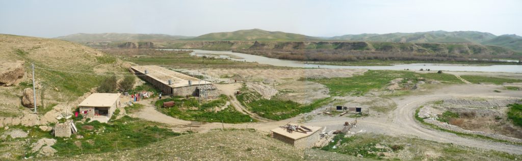
The proposed Bawanur dam is a multipurpose project comprising storage, flood control, irrigation, power production and recreational uses. Bawanur dam is located on the Sirwan River, which is a left tributary of the Tigris River. The proposed site is located in the northeastern part of Iraq in Källare District – Sulaymaniyah Governorate – Kurdistan Regional Government, near the town of Bawanur. The Sirwan River originates on the territory of Iran, the catchment area relating to the proposed dam site is 20,142 km2 and the Sirwan has the average discharge of water (Qa) approx. 120 m3.s-1. The bottom width of the river valley varies from 600 to 1,200 meters. The dam body is keyed to the right bank near the town of Bawanur and is connected to a public road of local importance. The dam body is designed as an embankment one with clay core. Stabilization parts of the dam body are designed from local materials – fluvial sand and gravel; the subsoil of the dam is sealed by a secant pile wall made of plastic concrete. The dam appurtenances such as the spillway, bottom outlets and hydropower station are located at the dam close to the axis of the valley towards the right bank.The spillway structure is designed as gated, having 9 Tainter gates of a span of 14.0 m and a height of 7.4 m. The total length of the spillway crest is 126 meters. The bottom outlets are linked to the spillway construction. They consist of 10 pieces of outlets of a diameter of 3.0 m each, as well as two knife gate valves (emergency and inspection valves) and a Tainter gate as the control gate. The bottom outlets are joined by two concrete tunnels with dimensions of 8.0 x 3.5 m each. The object of the bottom outlet is adjacent to a hydropower station, which will house four Kaplan turbines. The dam is located in a trough-shaped valley with thick Quaternary fluvial sediments, mostly coarse sand and gravel pads. The bedrock consists of sedimentary rock formations of Upper Bakhtiari. River Valley lies on the regional tectonic line.